
Nautical Charts
Nautical charts are not only essential tools for marine navigation but also one of the required publications according to SOLAS – “Safety of Life at Sea ”. Depending on the scale of the chart, it may show depths of water and heights of land (topographic map), natural features of the seabed, details of the coastline, navigational hazards, locations of natural and human-made aids to navigation, information on tides and currents, local details of the Earth's magnetic field, and human-made structures such as harbours, buildings and bridges.
INMATECH supplies Nautical charts from some of the most prestigious and famous chart publishers:
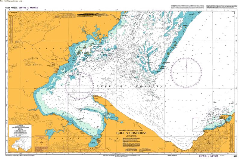
ADMIRALTY Charts
ADMIRALTY Charts are published by United Kingdom Hydrographic Office (UKHO). Charts within the series consist of a range of scales, useful for passage planning, ocean crossings, coastal navigation and entering port.
Australian charts
The Australian charts are produced by the Australian Hydrographic Service (AHS). The Australian Hydrographic Service (AHS) is Australia's national hydrographic authority and the Commonwealth Government agency responsible for the publication of official nautical charts and other information required for the safety of ships navigating in Australian waters. It publishes Australia's official paper and electronic navigation charts and publications comply with Safety of Life at Sea (SOLAS) regulations and Navigation Acts.
American charts (NOAA)
American charts are produced by The Office Coast Survey – OCS. OCS is a part of NOAA - National Oceanic and Atmospheric Administration. NOAA provides navigation products and services that ensure safe and efficient maritime commerce on America’s oceans and coastal waters, and in the Great Lakes.
Japanese charts
Japanese official paper charts are published by the Japan Coast Guard (JCG). Japanese Charts are built primarily on the Mercator projection.
Vietnamese charts
Vietnamese nautical charts provided by Inmatech are published by the Vietnam People's Navy Division, Southern Vietnam Maritime Safety (VMS-Nam) and Northern Vietnam Maritime Safety (VMS-North). with all ranges, seas and channels of localities in Vietnam